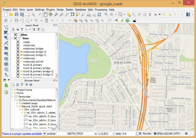
QGIS - The Leading Open Source Desktop GIS
QGIS is a professional GIS application that is built on top of and proud to be itself Free and Open Source Software (FOSS).
About QGIS
QGIS is a user friendly Open Source Geographic Information System (GIS) licensed under the GNU General Public License. QGIS is an official project of the Open Source Geospatial Foundation (OSGeo). It runs on Linux, Unix, Mac OSX, Windows and Android and supports numerous vector, raster, and database formats and functionalities.
View Data
You can view combinations of vector and raster data (in 2D or 3D) in different formats and projections without conversion to an internal or common format.
Create, edit, manage and export data
You can perform spatial data analysis on spatial databases and other OGR-supported formats
Explore data and compose maps
You can compose maps and interactively explore spatial data with a friendly GUI.
Analyze data
You can perform spatial data analysis on spatial databases and other OGR-supported formats